
Drone Roof Inspections
Large, tall or hard-to-access roofs can be difficult to assess from the ground. For Sugar Land, TX property owners, aerial images can locate visible changes on roof areas exposed to summer heat. Small seam defects still need close inspection. Cracking at laps, ponding stains, displaced coping and failed sealant appear as patterns to investigate, not findings on their own. A drone gives the inspector an overhead view before a technician decides where closer access is safe and useful.
Why Large Roofs Hide Early Damage
Scale can hide early trouble. On a large distribution roof, one failing seam can be difficult to spot from the ground or during a broad visual walk. Heat and humidity exposure can also vary across one field. Areas with afternoon sun, nearby exhaust or retained water are inspected as distinct conditions instead of assumed to have aged equally.
Standing water is one example. Sugar Land's reported subsidence rate describes ground movement, not roof-deck deflection at a specific building. Where ponding appears, a level survey and substrate investigation can help establish the cause. Dirt rings or surface discoloration are clues; the aerial image helps locate them so a closer inspection can focus on affected areas.
What the Drone Records
A flight is planned for the roof, not improvised. The aircraft follows a planned grid so images overlap across the authorized coverage area at a consistent height and angle.
- High-resolution visible images that show membrane condition, seams, flashings, penetrations and drainage paths.
- Thermal images, flown at the right time of day, that point to areas where trapped moisture may be holding heat differently from dry roofing.
- Oblique photos of parapets, walls, coping, edge metal and the sides of rooftop equipment that a straight-down view cannot show.
- A stitched overview map, so findings can be marked across the covered roof area and compared with later flights.
These images become part of the written findings, with each defect labeled and located. The owner can zoom to the problem and see it, which makes the discussion with a lender, tenant or board much simpler.
Before a flight, the property contact identifies active loading, occupied outdoor areas and roof zones that cannot be accessed. The plan records the intended coverage and any blocked view. Images are labeled by roof section, orientation and date, then compared with a roof plan where available. If weather or access interrupts part of the flight, the findings identify that limit. A later technician can return to a specific location without treating the aerial record as a full inspection.
Where a Drone Beats a Ladder
Some roofs are simply unsafe or impractical to walk without preparation. Tall towers, such as the three patient towers at Houston Methodist Sugar Land Hospital or a nine-story hotel in Town Square, make edge access difficult. Metal roofs with a steep pitch carry slip hazards, especially when dew is on the panels, and a standing seam metal roof can be damaged by careless foot traffic. Aged or fragile sections, such as skylight fields, are better photographed from above than stepped on.
Drones also help with volume. Sugar Land Business Park holds a field of warehouse and light industrial roofs, and a portfolio owner can compare dated visible conditions using a consistent flight plan. Actual coverage and flight time depend on access, airspace and the building layout. The flights narrow the list of roofs that need a hands-on follow-up. After a named storm such as Hurricane Beryl, which produced 60 to 70 mph gusts across the region, an authorized flight can preserve a dated view of visible conditions before cleanup. Those images help select locations for close inspection. The Harvey loss history in Fort Bend County is another reason to keep prompt property-level records. Images document what appears during inspection, but they do not establish when a condition developed or what caused it.
Related Roofing Pages
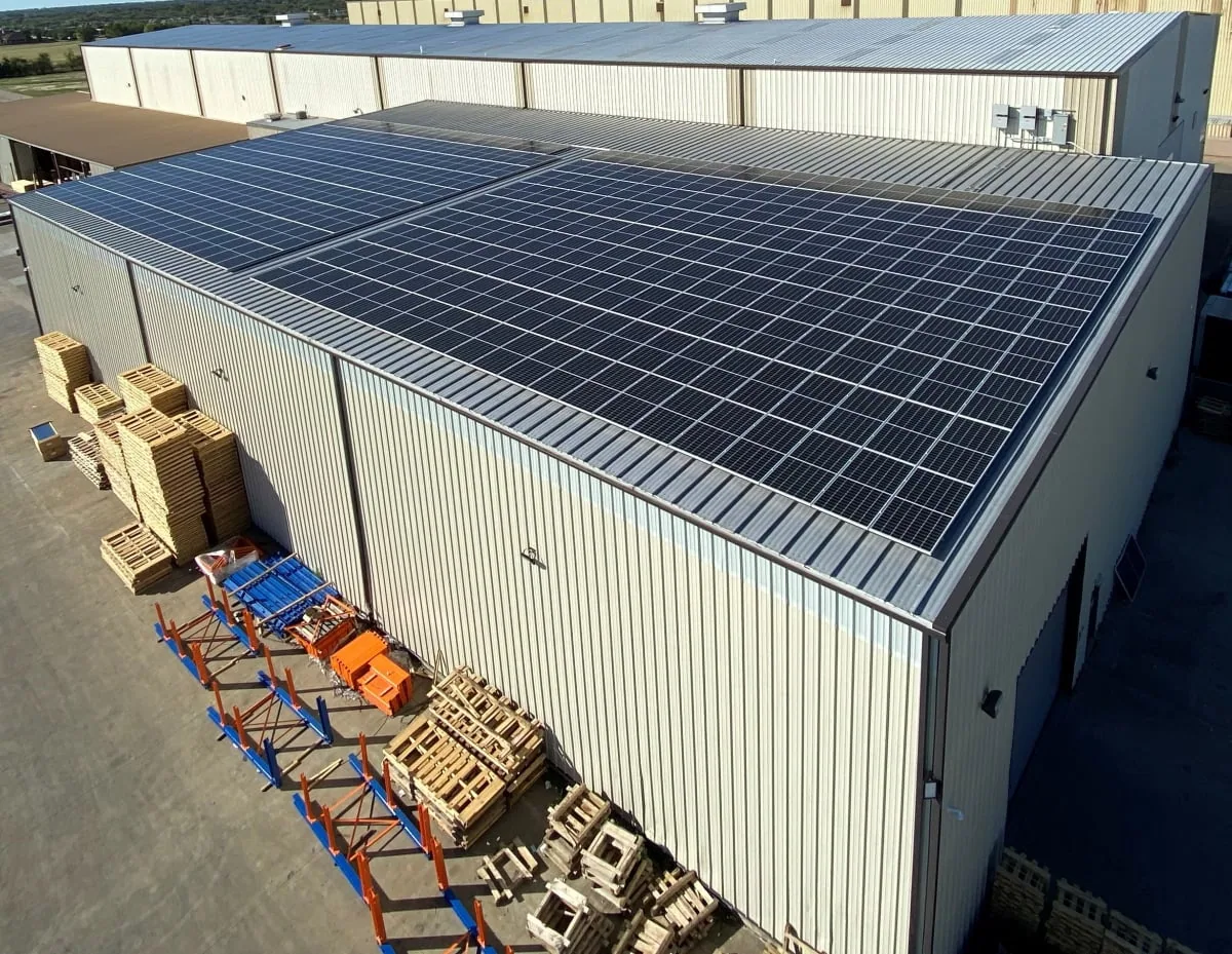
Standing Seam Metal Roofing
How the work is scoped, documented and phased on occupied Sugar Land buildings.
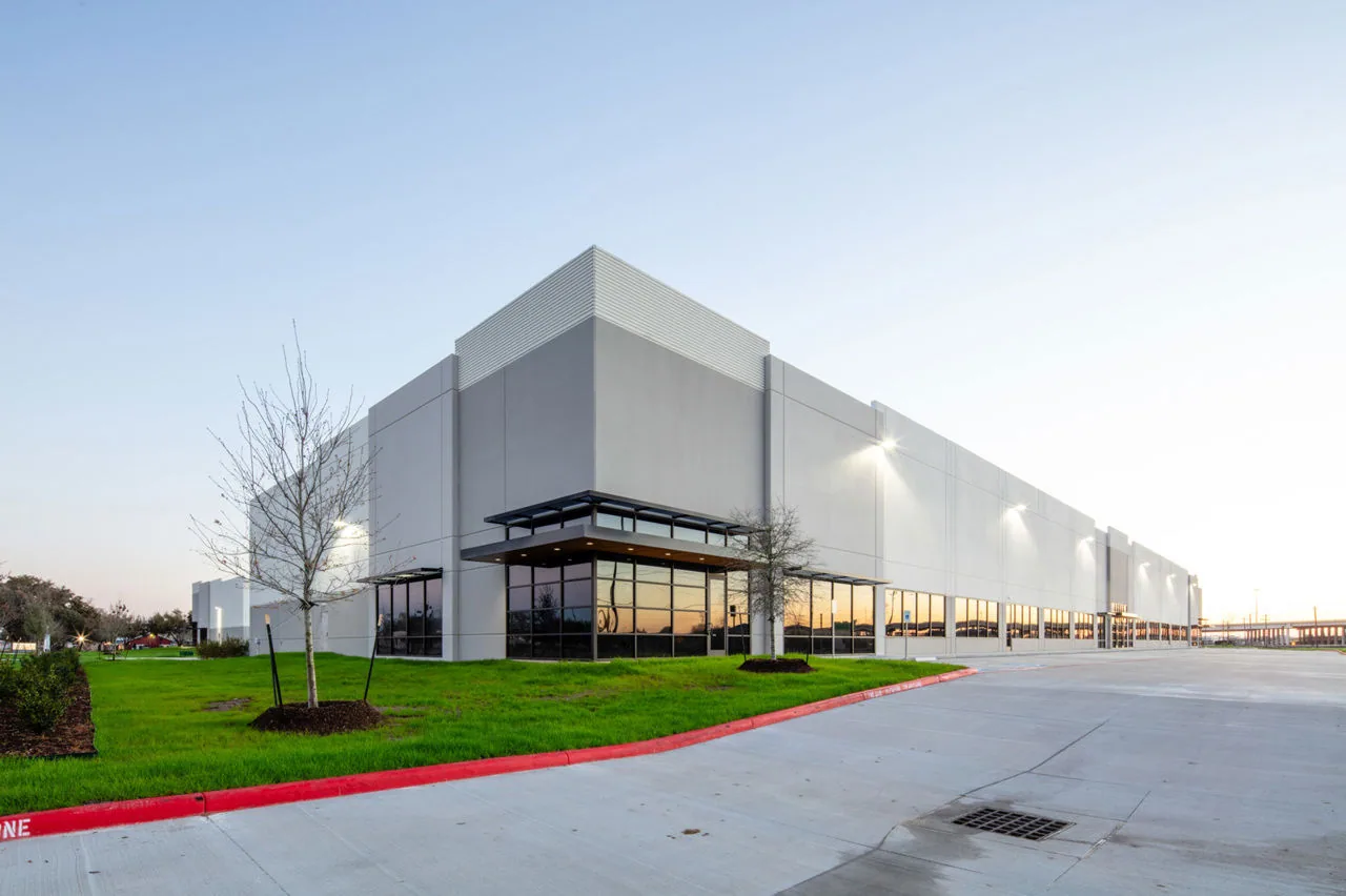
Sugar Land Business Park
What we check on the roof, what we recommend and how the crew keeps the building open.
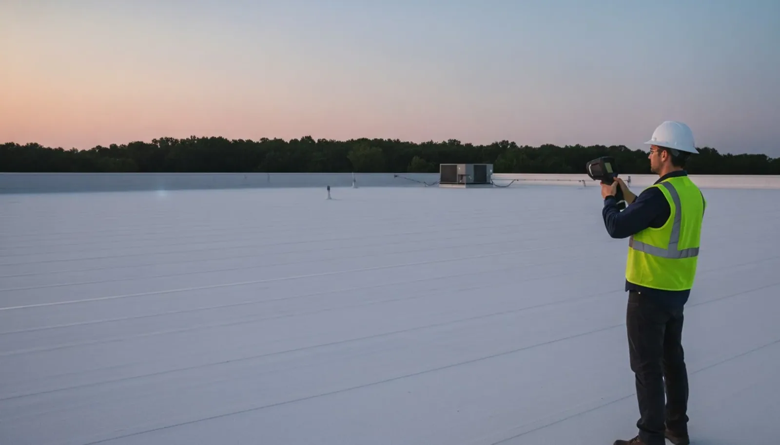
Infrared Roof Moisture Surveys
Conditions, options and next steps for commercial buildings in Fort Bend County.
Ask for an Aerial Look at Your Roof
We will review the images with you in plain terms, point out what matters and send the photos, so you can show the owner what the roof looks like from above.
Call 555-555-5555 or email [email protected].
Commercial Roofing Questions
Straight answers to the questions building owners and managers ask us most often.
Does a drone flight replace a walk of the roof?
No. It makes the walk faster and better aimed. The flight identifies patterns and problem areas, and a technician then probes and tests them by hand.
What size of roof makes a drone worthwhile?
Large, tall, steep, fragile or hard-to-access roofs can suit aerial review. A mid-sized roof may also benefit when safe access is difficult. We compare the coverage and inspection questions with the available flight conditions before recommending imaging.
Are thermal images reliable for finding wet insulation?
They are a strong clue, not proof. Thermal contrast depends on weather and time of day, and it can reflect shade or old repairs. We use it to choose where to scan or core, and a core confirms its own location. The report distinguishes confirmed samples from estimated conditions between them.
Will the flight disturb tenants or staff?
Flight activity is planned around entrances, occupied outdoor areas and delivery routes. The pilot coordinates with the property manager, and weather or airspace restrictions may require another time. The aerial pass does not require opening roof sections.
How soon after a storm can a flight be made?
Timing depends on weather, access and current airspace authorization. When conditions permit, images can preserve visible conditions before temporary work or cleanup. They inform the roof inspection but do not establish cause on their own.
What a Drone Cannot Tell You
An aerial image shows the surface. It does not show whether insulation is wet, whether a weld is truly bonded or whether a fastener has backed out under the membrane. Thermal images suggest moisture but do not prove it, and results depend on sun, clouds and the recent weather. For that reason, we treat a drone flight as the first step of an inspection, not the whole of it.
Where the flight finds something, a technician goes to that spot to probe, test and photograph it by hand. The aerial view helps select questions for hands-on review; it does not supply those answers. We identify which conditions were seen from above and which were confirmed at roof level. Suspected moisture can lead to an infrared and core-cut investigation, and a broader hands-on inspection can examine details the camera cannot reach. A confirmed wet area then moves to an infrared and core-cut moisture survey, and the broader hands-on commercial roof inspection catches the details a camera cannot reach.
Flight planning also accounts for the building's surroundings and people on site. We select launch and landing positions, review the permitted operating area and coordinate a time that does not conflict with active loading or pedestrian use. A flight may need to be postponed when wind, rain, visibility or airspace restrictions make the images unreliable or operation unsuitable. The report notes those limits so a missed view is not mistaken for an inspected roof surface.
Flight Rules and Airspace Near the Airport
Commercial drone work follows FAA rules, and those rules matter in this market. Sugar Land Regional Airport has an 8,000-foot runway. Airport proximity alone does not establish which rules apply at a particular property, so the pilot checks current airspace and obtains any required authorization before launch. Airport proximity alone does not establish which rules apply at a particular location. Weather also limits flights, with wind, rain and low cloud all cutting the useful window. We plan around those restrictions and tell the property manager when a flight date depends on them.
How a Roof Project Runs
Every roof we take on moves through the same six steps:
01
Roof Walk
We walk the whole roof and photograph the membrane, seams, flashings, drains and equipment.
02
Moisture Check
Readings and core cuts show what is wet below the surface before anyone prices a repair.
03
Written Findings
You get plain-language findings, photos and the options that fit the roof.
04
Scope and Price
One written scope covers the system, the details, drainage changes and the price.
05
Scheduled Work
Crews work around tenants, deliveries and weather, closing the roof every night.
06
Closeout
We walk the finished roof with you and hand over photos and warranty paperwork.
Using Flights as a Baseline
The strongest use of drone imaging is repetition. A flight in one year gives a baseline, and a flight after a storm or the next summer shows what has changed. Owners who track roofs this way can plan budgets in an orderly way through roof asset management, and those with many buildings can fold the images into a multi-site roof program.